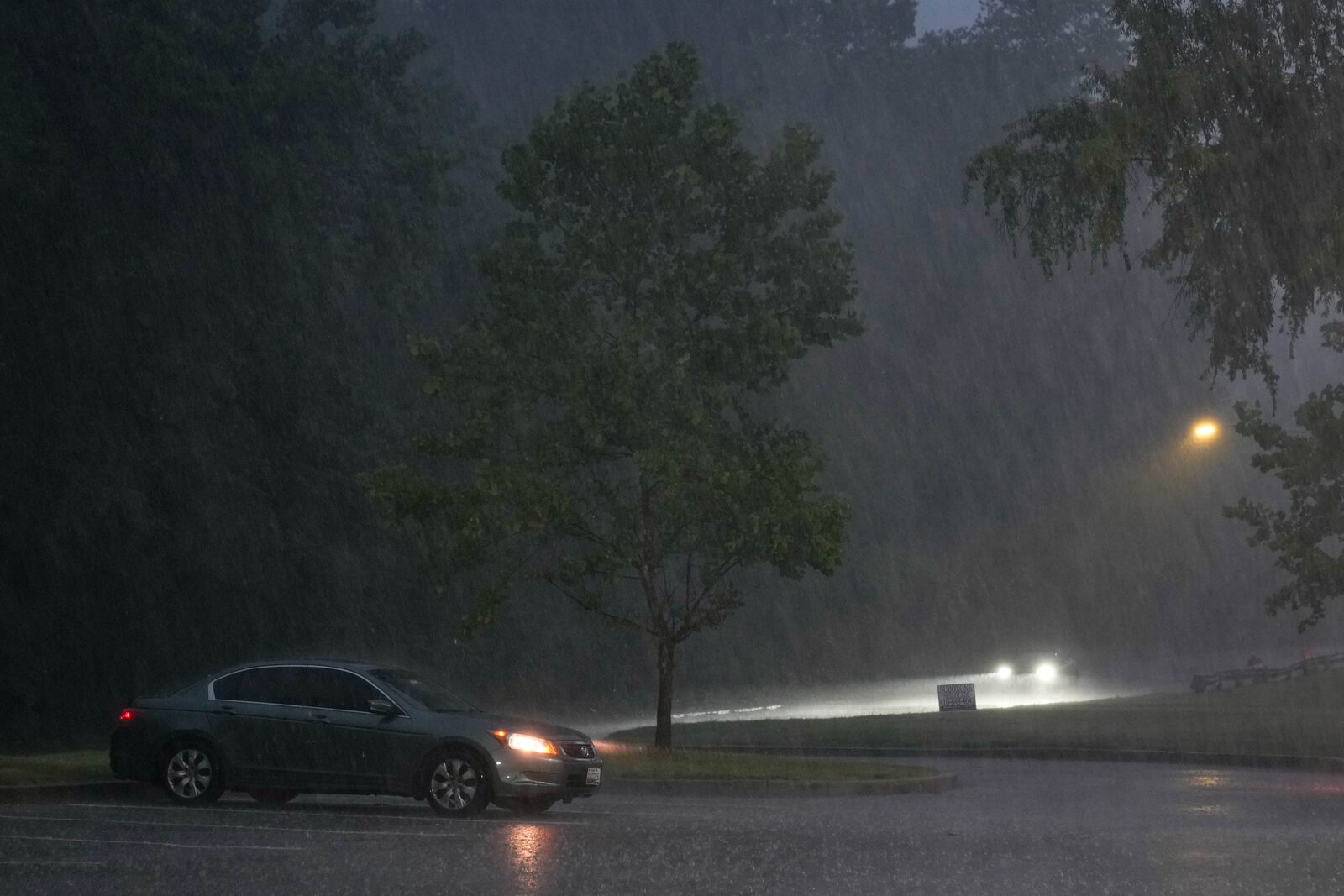
The National Weather Service has announced a flood watch for much of Central Maryland, including Anne Arundel, Carroll, Howard, Montgomery, Baltimore, Harford, and Prince George’s counties. This alert will be in effect starting Monday at 4 p.m. and will continue through the evening.
According to Chris Strong, a meteorologist with the Baltimore/Washington office of the weather service, the region is experiencing a mix of a heat wave and cooler air from the Northeast, which is creating powerful storm systems. Temperatures are expected to remain in the upper 80s until Wednesday, with scattered thunderstorms anticipated this evening and on Tuesday.
“There’s a potential for a lot of rain to fall pretty quickly, so people should be cautious for flooding later on today,” Strong advised.
This weather pattern follows a series of storms over the Fourth of July weekend that caused significant damage in Central Maryland. The storms resulted in fallen trees and impacted Baltimore Gas & Electric infrastructure, leaving over 70,000 customers without power at one point. As of Monday morning, approximately 29,000 customers were still experiencing outages, according to BGE’s outage map.
The recent storms come on the heels of record-breaking heat, with temperatures in downtown Baltimore reaching 104 degrees on Saturday, surpassing the previous record of 101 degrees set in 2002.
Reported by HarborBeat based on The Baltimore Banner (source).
0 Comments
Log in to join the conversation.