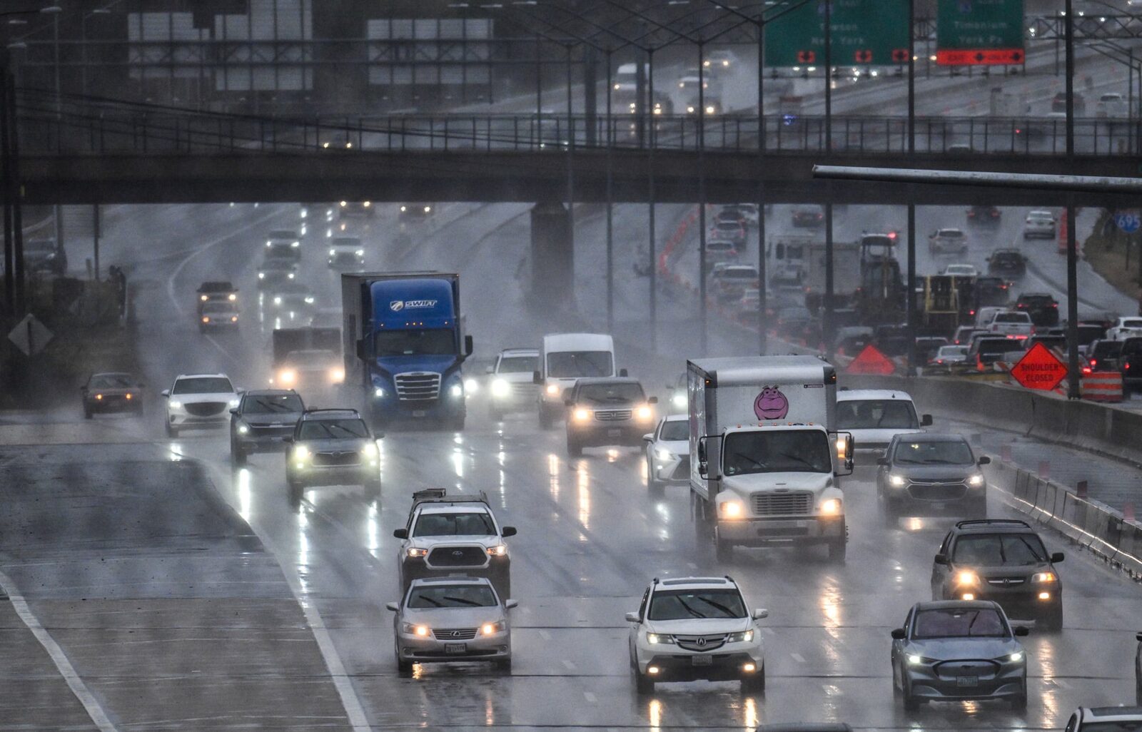
Maryland residents are advised to be cautious during their Thursday afternoon commute as a flood watch has been issued for several areas, including Baltimore City and surrounding counties.
According to the National Weather Service, scattered showers and thunderstorms are expected to hit the Baltimore-Washington, D.C. region, with temperatures reaching the mid-80s. The flood watch is in effect from 2 p.m. to 11 p.m. for Baltimore City, Anne Arundel, Baltimore, Montgomery, Howard, Harford, Prince George’s counties, and the District of Columbia.
Rainfall rates may reach 2 to 3 inches per hour, creating a heightened risk of flooding, particularly along Interstate 95 and near local rivers, creeks, and streams.
The State Highway Administration has urged motorists to exercise caution while driving during the storms. They also advised that traffic signals without power should be treated as a four-way stop to ensure safety on the roads.
This is the second flood watch issued by the National Weather Service this week, following a series of powerful storms that have already caused significant disruptions in the area, including power outages affecting over 70,000 residents. The recent extreme heat during the Fourth of July holiday also led to the cancellation and postponement of various events across the state.
Reported by HarborBeat based on The Baltimore Banner (source).
0 Comments
Log in to join the conversation.