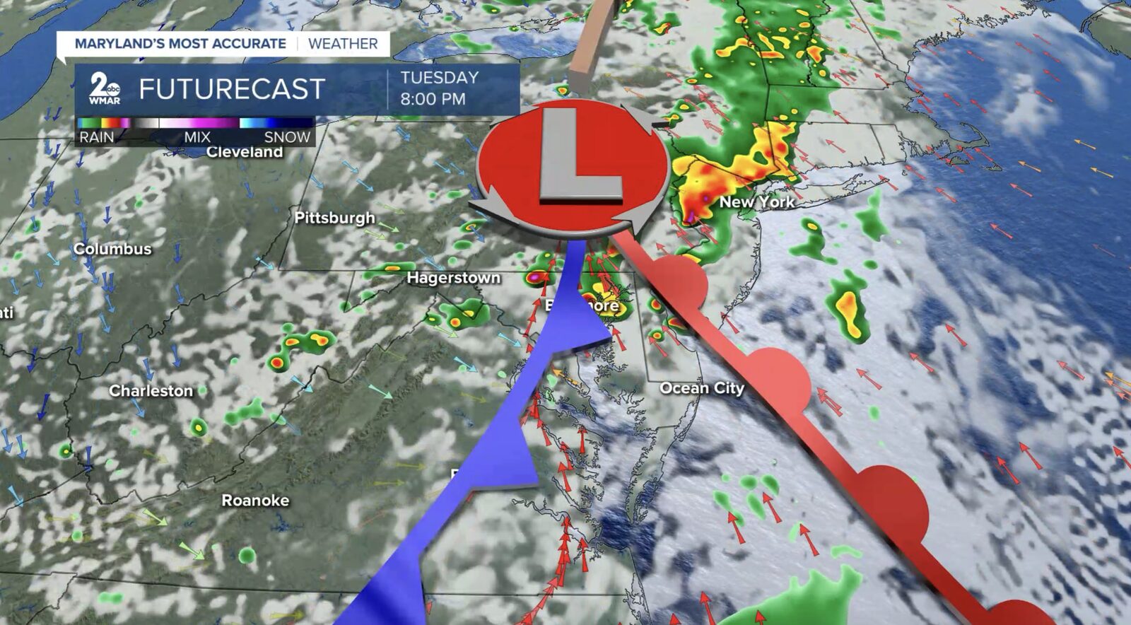
Residents of the Baltimore area are advised to stay alert as the potential for strong to severe thunderstorms exists today. Current conditions show mostly cloudy skies, but forecasters warn that this could change rapidly.
A significant cold front moving in from the Great Lakes is expected to bring severe weather to the region from 2 PM to 8 PM. The National Weather Service has categorized the risk level as 'Slight Risk' (2 out of 5), indicating that damaging winds, large hail, heavy rainfall, and even the possibility of an isolated tornado are on the table.
In addition to the storm threats, a Flood Watch has been issued for parts of the area, effective through late tonight. This alert highlights the risk of flash flooding, particularly in low-lying areas and places with poor drainage.
Residents are encouraged to have a method for receiving weather alerts and to take necessary precautions to ensure their safety during this potentially hazardous weather.
Reported by HarborBeat based on WMAR-2 News (source).
0 Comments
Log in to join the conversation.