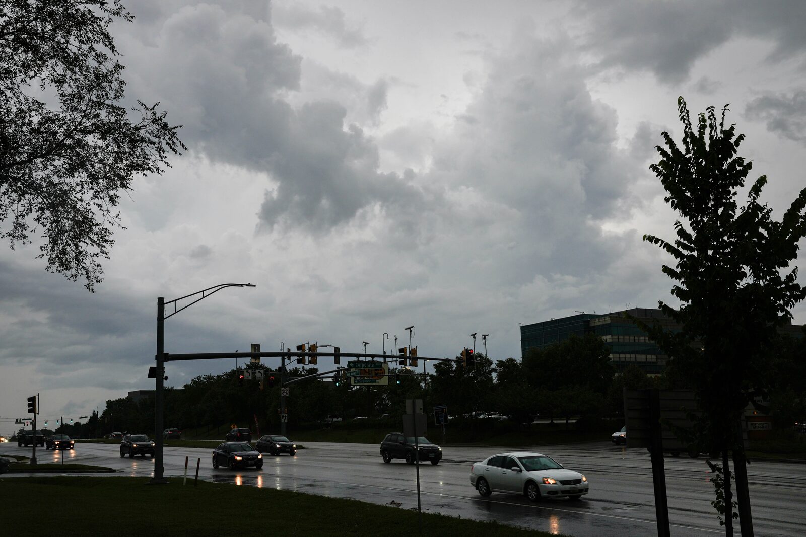
The National Weather Service has issued a warning for Maryland residents as severe thunderstorms are anticipated to move through the area starting early Tuesday afternoon. The storms, driven by a low-pressure system, could bring damaging winds of up to 60 mph and flash flooding.
According to meteorologist Luis Rosa from the Baltimore/Washington office, the thunderstorms are expected to reach Central Maryland around 1 p.m., with the most severe weather likely occurring between 3 and 6 p.m. The storms will be moving quickly at approximately 35 mph, and rainfall amounts could reach about one inch.
Rosa emphasized the need for caution due to the potential for multiple rounds of severe weather throughout the afternoon and evening. In addition to strong winds, the weather service has indicated that large hail and even a tornado cannot be ruled out.
A hazardous weather outlook has been issued for several areas, including Baltimore City, as well as Anne Arundel, Harford, Howard, Montgomery, Prince George’s, and Baltimore counties. Residents are advised to stay alert and take necessary precautions.
Following recent severe weather that caused damage in Anne Arundel and Howard counties, the rain from these storms may help improve air quality in the region, which had been affected by Canadian wildfires. The air quality is currently rated as moderate, a significant improvement from previous days when conditions were deemed unhealthy.
Reported by HarborBeat based on The Baltimore Banner (source).
0 Comments
Log in to join the conversation.