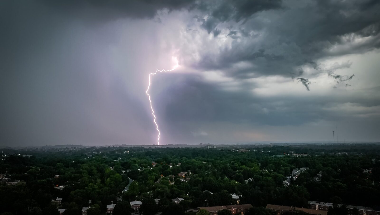
Residents and visitors in Maryland, particularly those heading to Ocean City, should remain vigilant as thunderstorms are forecasted to return this week. The National Weather Service (NWS) has warned that the most significant threat will be frequent lightning during these storms.
The onset of showers and thunderstorms is expected to begin Sunday afternoon, continuing into the evening. Isolated severe thunderstorms are likely to affect the Blue Ridge area on Monday.
Temperatures throughout the week are predicted to remain in the comfortable range of the 70s and 80s. However, a cold front moving through the region on Tuesday is anticipated to bring additional storms, with rain expected to persist throughout the week.
According to NWS meteorologist Luis Rosa, “The main threat will be lightning.” He also noted that Monday and Tuesday may see severe weather conditions, including damaging winds.
For those planning beach outings, early mornings are advised for outdoor activities, as storms are likely to develop in the afternoons. Tuesday is expected to be particularly hazardous for beachgoers, with potential for damaging wind gusts and a slight chance of hail, as indicated by Nancy Moll, another meteorologist with the NWS.
This shift in weather follows a series of recent storms that have resulted in hazardous lightning strikes, causing fires, widespread power outages, and damage to historical structures dating back to the 1700s.
In the past week, storms have led to numerous flight cancellations and delays at major airports, including Baltimore-Washington International Thurgood Marshall Airport, Dulles International, and Reagan National, along with instances of flooding and power loss across the region.
Reported by HarborBeat based on The Baltimore Banner (source).
0 Comments
Log in to join the conversation.