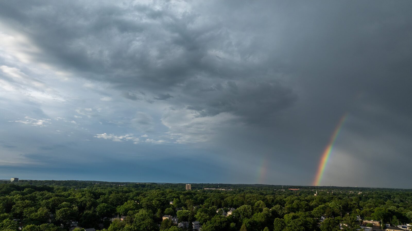
Marylanders are enjoying a short-lived improvement in air quality following a weekend of severe weather that brought damaging winds and heavy rainfall to the region. The Maryland Department of the Environment (MDE) reported that air quality levels are moderate across much of the state, although western Maryland remains under a Code Orange alert, indicating unhealthy conditions for sensitive groups.
Despite the temporary relief, residents can expect a return of smoke from Canadian wildfires by late morning and midday, although it is anticipated to be less severe than in previous days for most areas. MDE noted that better air quality is expected on Tuesday, but warned of another wave of smoke potentially arriving midweek as a cold front moves southward over the active fire zones in Canada.
Weather forecasts indicate that the threat of severe storms will also return, with meteorologists predicting high winds, heavy rainfall, and scattered thunderstorms from Sunday through Wednesday, particularly affecting Dorchester, Somerset, Wicomico, and Worcester counties. The entire state may experience severe thunderstorms by Tuesday, according to Luis Rosa, a meteorologist with the National Weather Service.
This weather update follows a Saturday storm that primarily impacted Anne Arundel and Howard counties, where powerful winds caused significant damage, including snapped trees, collapsed roofs, and downed power lines. A historic hotel was also reported to have caught fire, possibly due to a lightning strike.
As of Sunday morning, approximately 10,000 residents were still without power in the region. Baltimore Gas and Electric (BGE) stated that around 80% of those affected should have their power restored by 11 p.m. on Sunday, with most expected to be back online by 3 p.m. on Monday.
Reports from Pasadena indicated widespread wind damage, with fallen trees and debris littering the area. However, meteorologists indicated that there was no significant evidence of tornado activity.
Reported by HarborBeat based on The Baltimore Banner (source).
0 Comments
Log in to join the conversation.