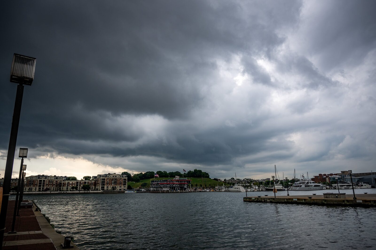
The National Weather Service (NWS) has alerted residents of Central Maryland to prepare for multiple rounds of severe thunderstorms expected to arrive late Tuesday morning. A hazardous weather outlook has been issued for several counties, including Anne Arundel, Baltimore, Harford, Howard, Montgomery, and Prince George’s.
Meteorologist Cody Ledbetter indicated that thunderstorms could develop between 1 p.m. and 5 p.m. if the showers currently moving through Western Maryland reach Baltimore County.
A flood watch is in effect from 8 a.m. until Tuesday evening, covering most of Anne Arundel, Baltimore, Howard, and Harford counties. Forecasts suggest that rainfall could reach up to 1.5 inches, with some areas potentially experiencing up to 3 inches. This excessive rainfall raises concerns for flash flooding in creeks, streams, and urban areas.
Temperatures throughout the week are expected to remain in the mid-80s, with nighttime lows in the lower 70s.
This weather event serves as a reminder of the devastating floods that have impacted the region in the past, notably in July 2016 when Old Ellicott City experienced severe flooding that resulted in two fatalities.
Reported by HarborBeat based on The Baltimore Banner (source).
0 Comments
Log in to join the conversation.